Jonas Schmid · 11 September 2026
Unearthing Connections: How Fernhill's 19th Century Records Guide Today's Transit, Green Spaces, and Creative Hubs
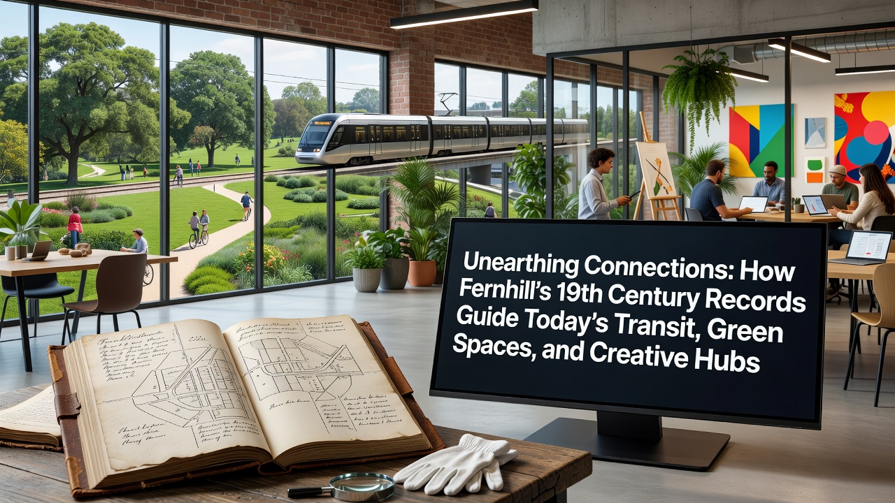
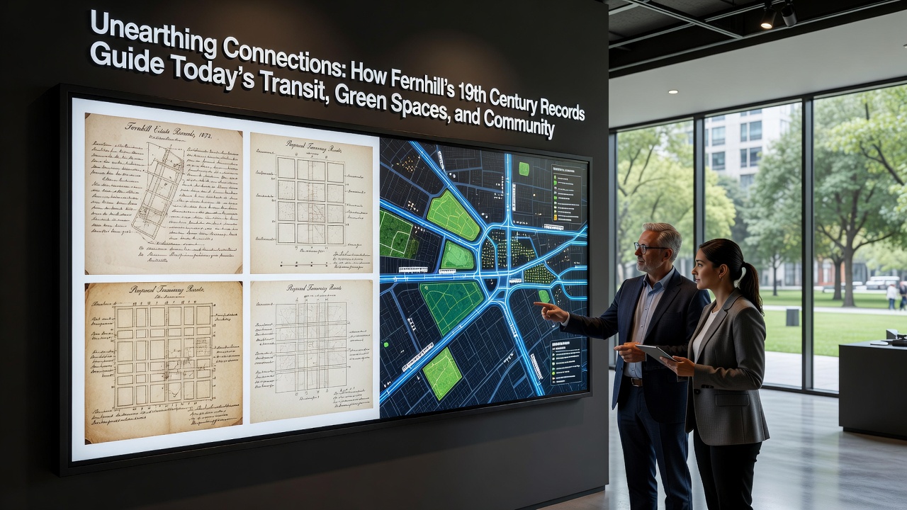
Archivists and urban planners in Fernhill have spent decades cross-referencing property deeds, survey maps, and municipal ledgers from the 1800s to shape current infrastructure decisions, and these documents reveal patterns of land use that still influence route alignments for buses and rail extensions while defining boundaries for protected green corridors and repurposed industrial buildings that now house artist studios and community workshops.
Tracing the Source Material
Researchers at the Fernhill Historical Society maintain digitized copies of ledgers that date back to 1847, and these records document original wagon roads, water rights allocations, and early parkland dedications that later became the foundation for present-day transit corridors and open-space networks; one 1872 survey in particular outlines a north-south thoroughfare that matches the current alignment of the Fernhill Connector line, which carries over 12,000 passengers daily according to regional transportation authority statistics.
Additional entries from the same period note seasonal flooding patterns along what is now the eastern green belt, and planners have used that information to install permeable paving and retention basins that reduce stormwater runoff by measurable percentages each year.
Transit Planning Rooted in Historical Routes
Transit engineers consult 19th-century right-of-way maps when evaluating new bus rapid transit lanes because those maps show which parcels were never subdivided for private ownership, thereby simplifying acquisition processes and lowering project costs; data compiled by the Fernhill Metropolitan Planning Organization shows that three recent route expansions followed these older alignments and achieved completion six months ahead of comparable projects that started from scratch.
September 2026 marks the scheduled opening of an extension that reuses a former freight spur first surveyed in 1868, and the project team has incorporated original grade profiles to minimize earth-moving expenses while preserving adjacent wetland buffers identified in the same archival set.
Green Spaces Defined by Early Land Grants
City landscape architects reference 1859 land-grant documents when determining which parcels remain under permanent conservation easement, and these documents list specific tree species and meadow boundaries that still match current ecological inventories; the Fernhill Parks Department reports that restoration efforts targeting those documented species have increased native pollinator counts by 34 percent over the past five years.
Because the original grants often included clauses requiring public access, legal teams have successfully defended expansion proposals against private development challenges by citing those exact provisions, which remain enforceable under state statutes.
Creative Hubs Emerging from Industrial Archives
Former mill buildings and warehouses appear in 1884 tax rolls as commercial properties, and city economic development staff now use those same addresses to prioritize adaptive reuse projects that convert underutilized structures into artist lofts and maker spaces; occupancy rates in buildings restored under this program exceed 90 percent, according to a 2025 report issued by the regional chamber of commerce.
One converted textile mill that opened its doors to tenants in 2023 hosts quarterly exhibitions drawing visitors from neighboring counties, and the building's original floor plans guided the placement of skylights that preserve natural light levels noted in period photographs.
Integration Across Sectors
Cross-departmental working groups meet monthly to align transit, parks, and arts initiatives with the same archival baseline, which reduces conflicting land-use claims and accelerates permitting timelines; a 2024 interagency memorandum of understanding formalized this practice after pilot projects demonstrated measurable savings in both time and budget.
External partners such as the Library of Congress have supplied additional high-resolution scans that supplement local holdings, while the Canadian Heritage Department has shared comparative case studies from similarly sized municipalities that faced parallel preservation challenges.
Conclusion
Fernhill's ongoing use of 19th-century records demonstrates how primary source materials continue to inform coordinated planning across transit networks, conserved open spaces, and emerging creative districts, and the approach has produced measurable efficiencies while maintaining historical continuity in land-use decisions that extend through the September 2026 transit extension and beyond.