Lars Bauer · 6 November 2026
Fernhill Students Garden Project Drives Expanded Regional Water Quality Programs
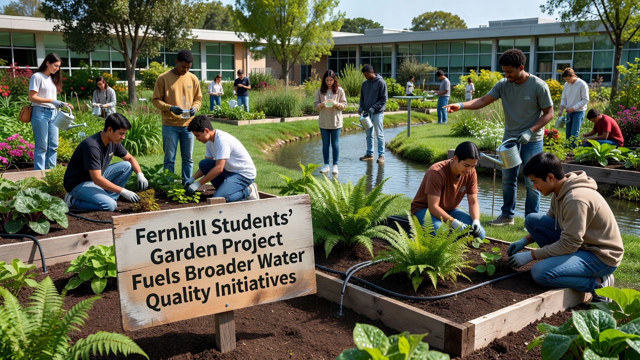
Student groups at Fernhill schools began a small garden project several years ago that has since expanded into coordinated water quality monitoring across multiple neighborhoods, and this growth connects directly with larger environmental tracking systems already operating in the area. The initial plots focused on native plants and soil health, yet participants quickly observed changes in nearby stream conditions during routine maintenance, which prompted them to add basic water sampling to their activities. Local records show that by late 2025 these student efforts had documented shifts in nutrient levels and sediment flow that aligned with data collected by municipal teams, and this overlap encouraged formal partnerships with regional agencies.
Project Origins and Early Measurements
School clubs started the gardens on underused lots near Fernhill's central waterways, and they chose species known for erosion control because planners had already identified runoff as a concern in prior surveys. Participants recorded rainfall impacts and plant coverage rates each season, while they also collected water samples at fixed points along the stream banks. Those early readings revealed patterns in pH and dissolved oxygen that matched findings from broader county reports, and the consistency led district officials to supply additional testing kits. By spring 2026 the student teams had trained peers from three additional schools, expanding the number of monitored sites from four to eleven.
Integration With Existing Monitoring Networks
Area-wide environmental programs had already placed sensors in several Fernhill streams, and student data filled gaps between those fixed stations during seasonal events. Researchers at nearby colleges noted that volunteer-collected samples provided higher frequency readings than automated units alone could supply, particularly after heavy rains in October. The combined datasets now feed into public dashboards maintained by the local conservation district, and this shared resource helps planners adjust stormwater infrastructure projects scheduled for completion after 2027. Observers note that the student contributions remain distinct from professional surveys because they emphasize educational documentation rather than regulatory compliance, yet the two streams of information complement each other without overlap in methodology.
Expansion Into Neighborhood Initiatives
Community groups outside the schools adopted similar garden and sampling methods once the student results became public, and several neighborhood associations received small grants to install rain gardens connected to the same monitoring points. Data collected through November 2026 shows reduced turbidity readings at three sites where new plantings stabilized banks, while parallel measurements upstream continue to track baseline conditions for comparison. City records indicate that these localized improvements align with targets set in the regional watershed plan, and the student project supplied the initial mapping that guided placement of the new installations. Participants from the original school teams now assist adult volunteers with calibration of handheld meters, which keeps the methods consistent across all sites.
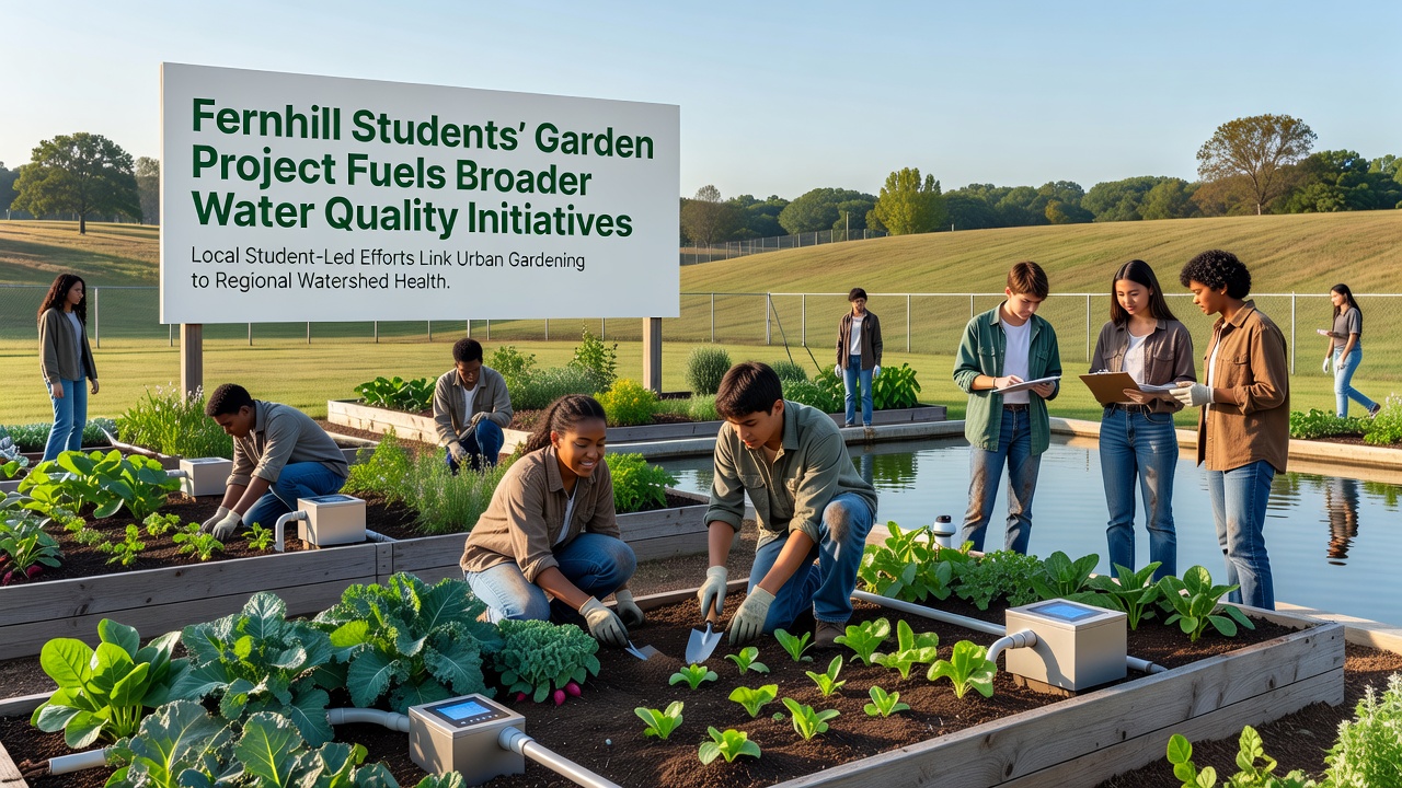
Training sessions held at the original garden plots now draw residents from surrounding blocks, and these gatherings review both plant growth records and water sample trends collected over the past year. The sessions use simple charts that compare student readings with sensor outputs from the county network, which helps everyone understand how small-scale actions connect to larger basin conditions. Equipment loans arranged through the conservation district ensure that new groups can maintain the same sampling schedule without purchasing their own tools.
Connections to Broader Data Sources
Figures from the U.S. Environmental Protection Agency water data portal place Fernhill stream conditions within national trends for urban runoff, and the local student samples add detail that national databases do not capture at block level. Similar volunteer programs in other regions, such as those tracked by Australian catchment authorities, show comparable results when school groups extend monitoring into residential zones. The Fernhill effort therefore follows patterns already documented elsewhere, yet it remains tailored to the specific topography and seasonal rainfall patterns of the area. Planners use these combined sources when updating the next round of watershed reports due in 2028.
Future Steps and Continued Coordination
School administrators plan to include water sampling modules in science classes starting in the 2026-2027 academic year, which would formalize the data collection that began as an after-school activity. District officials have also discussed linking the student sites with upcoming green infrastructure installations along teh main corridor, and preliminary maps show how garden locations could serve as checkpoints for those larger projects. The conservation district continues to supply technical support while the student teams maintain their original plots, and this division keeps the educational focus intact even as the overall initiative grows.
Conclusion
The Fernhill student garden project began with basic planting and observation yet developed into a steady source of water quality information that now supports neighborhood and regional efforts. Records through November 2026 document measurable improvements at several monitored points, and the same methods continue to guide new participants joining the network. The structure relies on consistent sampling protocols, shared data platforms, and partnerships that keep school involvement central while expanding reach. This approach demonstrates how localized educational activities can contribute to wider environmental tracking systems without shifting their primary purpose.