Sage Weber · 25 September 2026
Beneath the Pavement: Volunteer Surveyors Trace Fernhill's Lost 1800s Pathways to Guide Stream Cleanup Efforts
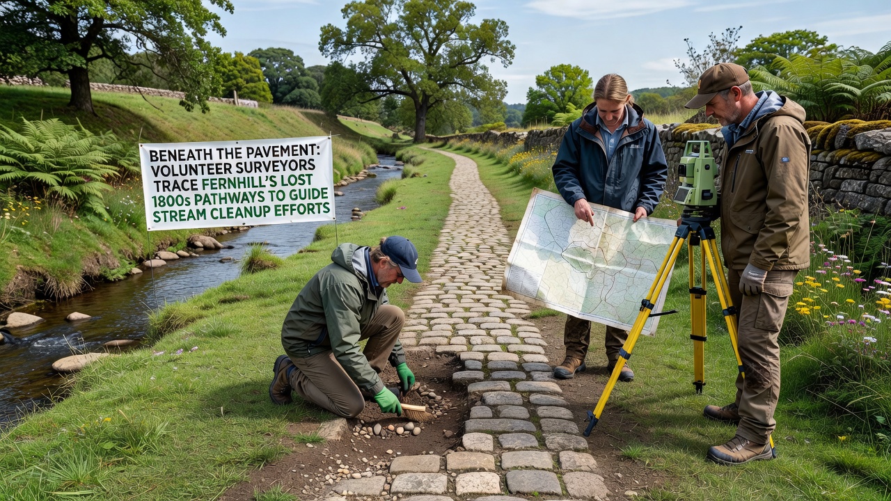
Volunteer surveyors in Fernhill have begun mapping forgotten 19th-century pathways that lie beneath modern pavement, and these routes connect directly to ongoing stream cleanup initiatives along local waterways, while historical records from the 1800s show how early residents used these trails for transport and water access before urban development covered them over in the early 20th century.
Data from municipal archives indicate that Fernhill's original settlement patterns followed natural contours leading to what is now the main stream corridor, and teams equipped with ground-penetrating radar along with archival maps have identified segments of these paths during weekend sessions that started in spring 2025. Researchers at regional historical societies have cross-referenced property deeds and survey notes from that era, which reveal how pathways once linked farms to the water source that supplied both irrigation and daily needs for the growing community.
Historical Records Inform Modern Mapping
Those who've studied Fernhill's 1800s documentation note that pathways often aligned with seasonal drainage routes, and this alignment helps explain why certain stream sections still carry higher sediment loads from older runoff patterns. Survey crews mark these alignments with temporary flags and digital coordinates, then feed the information into cleanup planning software that prioritizes erosion control along the rediscovered corridors. According to figures from the National Archives, similar pathway tracing projects in other regions have reduced cleanup costs by aligning restoration work with original topography rather than imposing new grid systems.
One group of volunteers uncovered a stone-lined culvert dating to 1872 during a recent dig near the eastern stream bend, and this find confirmed oral histories passed down through local families about how water flowed through those channels before pavement altered the surface drainage. The discovery prompted adjustments to the September 2026 cleanup schedule, which now includes targeted sediment removal at that location to restore natural flow rates documented in period engineering logs.
Stream Cleanup Integration
Stream cleanup teams use the pathway data to place barriers and plant native vegetation in spots where 1800s routes once channeled water, and this approach minimizes disturbance to existing root systems that have stabilized banks over decades. Environmental reports from the Australian Department of Climate Change, Energy, the Environment and Water show that projects incorporating historical hydrology data achieve higher long-term stability in restored waterways compared with those relying solely on contemporary surveys. Volunteers coordinate with local utilities to avoid buried infrastructure while they trace these older lines, and the process has already flagged three potential conflict zones ahead of the 2026 work window.
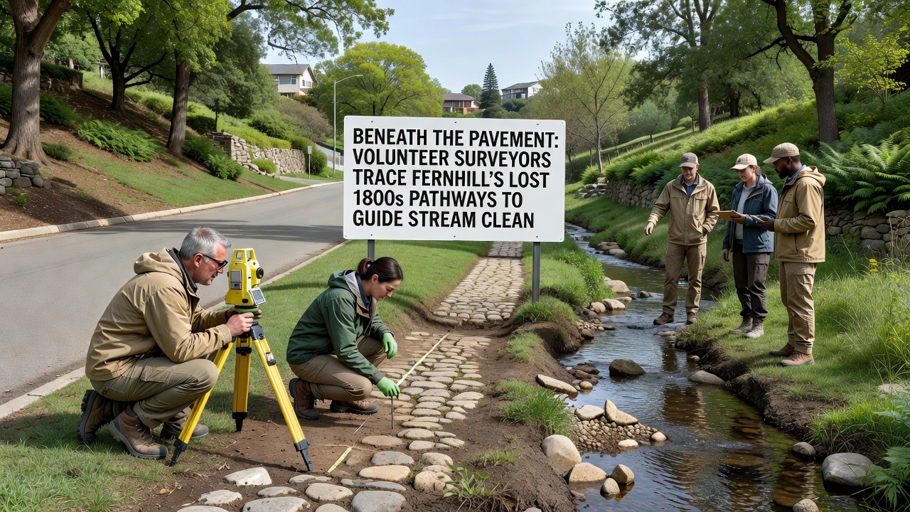
Training sessions for new survey participants cover both archival interpretation and field techniques, while experienced members demonstrate how to distinguish man-made path remnants from natural rock formations using soil samples and alignment measurements. The program has drawn participants from neighboring communities who bring additional expertise in GIS mapping, and these contributions have accelerated the digitization of findings into a shared public database updated monthly.
Community Documentation Efforts
Local libraries have digitized supporting documents such as 1890s land plats and photographs that depict the pathways before they disappeared under asphalt, and residents can access these materials through an online portal maintained by the Fernhill Historical Preservation Society. Cross-referencing these images with current drone footage allows surveyors to pinpoint locations where pathways intersect the stream at angles that influence water velocity during heavy rains. Data collected so far covers approximately 2.4 miles of previously undocumented route segments, and analysis continues through winter months in preparation for expanded fieldwork once weather permits.
Partnerships with nearby universities have supplied student interns who process field notes and create 3D models of the subsurface features, and these models help cleanup crews visualize how restored pathways could reduce flooding risks in adjacent residential zones. The integration of historical and environmental data continues to shape planning documents that guide resource allocation for the September 2026 phase of the stream project.
Conclusion
Volunteer efforts to trace Fernhill's 1800s pathways have produced measurable inputs for stream cleanup planning, and ongoing documentation ensures that future work respects both the area's historical layout and its ecological needs. The project remains open to additional participants who wish to contribute to the mapping database ahead of the next major fieldwork push.